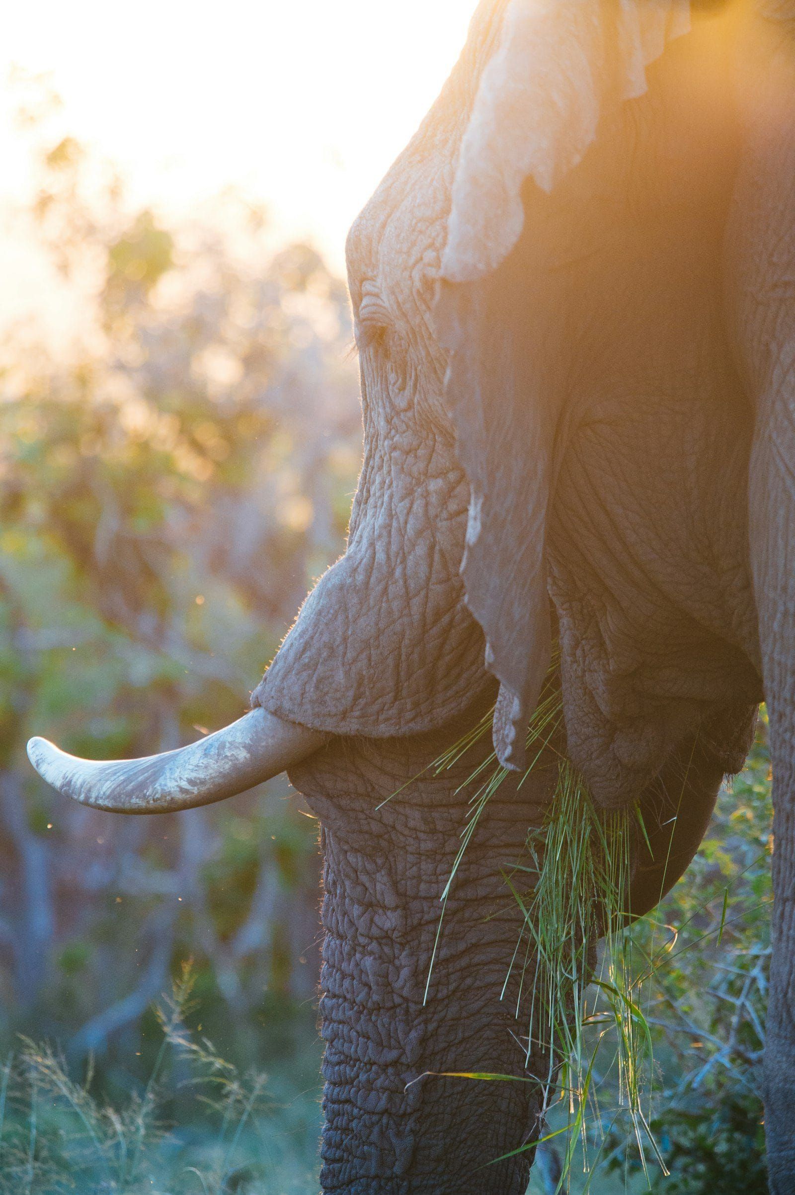
Namibia's desert elephants are a small, hardy population that walks enormous distances along dry riverbeds in the country's northwest, and for the families farming that same hard country, an unexpected herd at the water point is a serious matter. So conservationists at Elephant Human Relations Aid fitted collars to key elephants and drew invisible lines across the landscape. When a collared elephant crosses one, an alert lands by message with the local Elephant Guards, community members trained to move gently ahead of the herd, letting people know who is coming and when, so nobody is surprised and nothing goes wrong.
Now the sky is helping too. Through the Connected Conservation Foundation, the Airbus Foundation has gifted the project high resolution satellite imagery, and the team is layering it with the collar tracks, rainfall and vegetation to understand what moves the elephants, the answer, overwhelmingly, is water, and to map the corridors they need protected. The work feeds into conservation plans with Namibia's environment ministry, and the aim is simple and warm: farms that feel safe, elephants that walk free, and a map of the desert generous enough to hold both.
Our short take: the project is run by Elephant Human Relations Aid in Namibia with the Connected Conservation Foundation and the Airbus Foundation. Photograph: Unsplash.