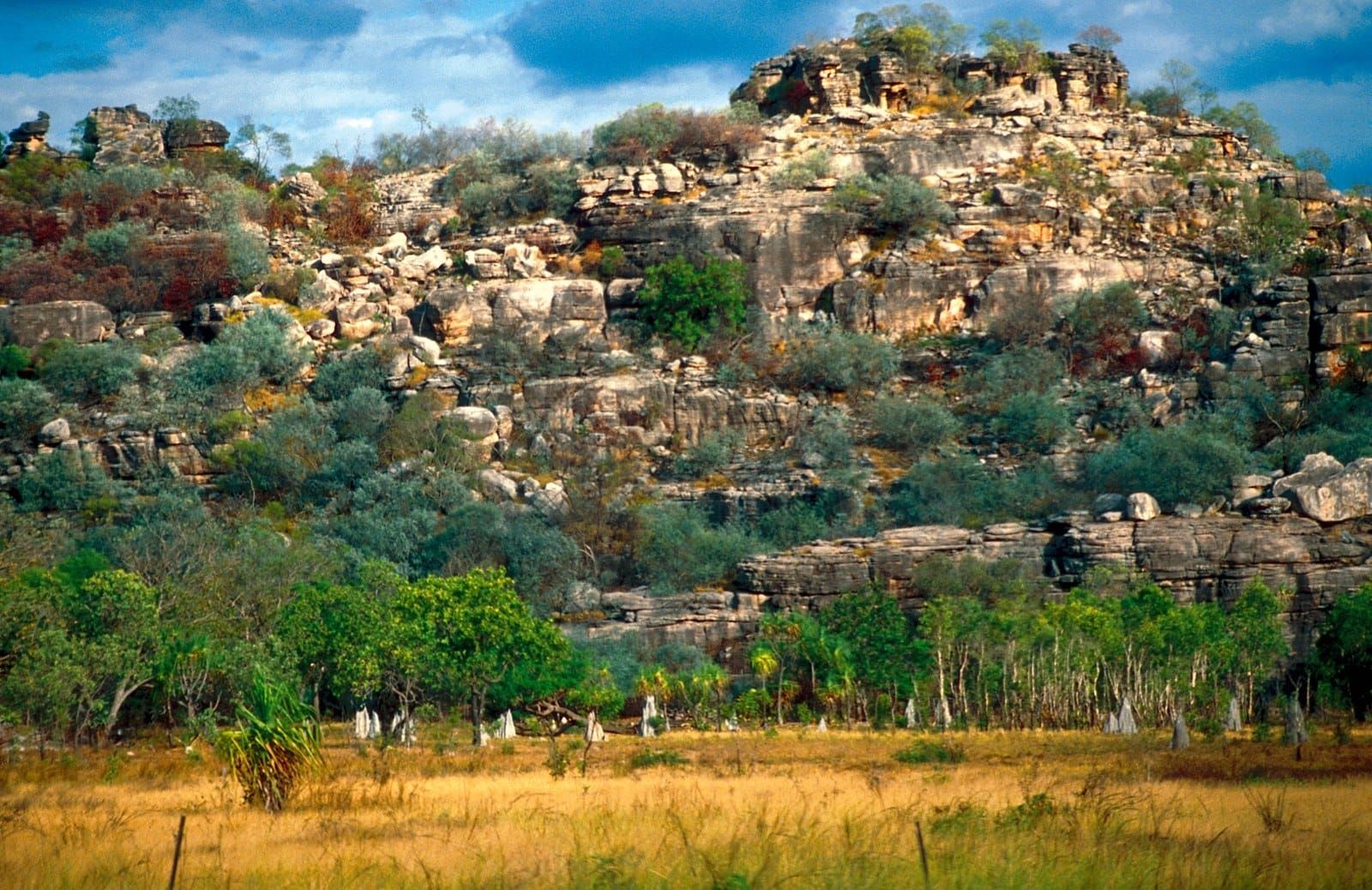
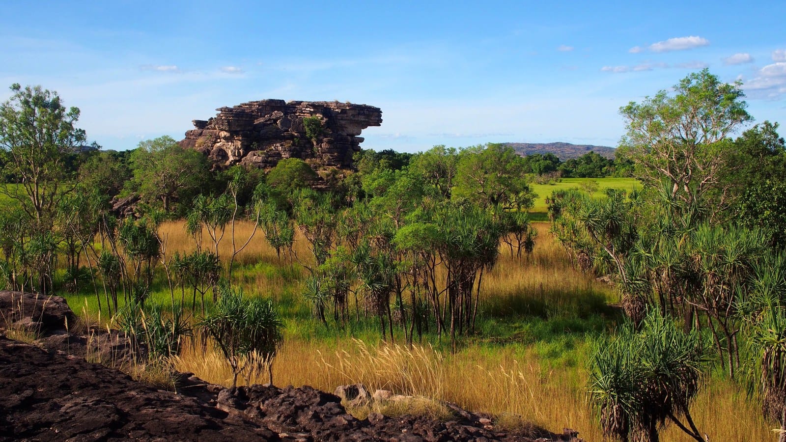
Picture a daluk ranger in the stone country of West Arnhem Land, pulling the memory card from a camera strapped to a tree, and then picture the other end of the job: a screen, and nearly a million photographs waiting for someone to look at every one. That is the Mayh program, Warddeken Land Management's wildlife survey across the Warddeken Indigenous Protected Area, 1,394,951 hectares of plateau and gorge country immediately east of Kakadu, where bininj and daluk rangers use camera traps to see how their care of Country is treating the animals that matter most to them. Until now the looking was the bottleneck. This month a study in Conservation Science and Practice, by Warddeken, Charles Darwin University and CSIRO, reports what happened when the rangers put an open source animal detection model called MegaDetector to work on 1,572 hours of their own camera trap data. Images needing a human eye fell from 925,088 to 172,290, a cut of 81.4 per cent, and a job that took about six months now takes two. Each fortnight, the hours spent processing data dropped from 52.6 to 41.8. Nobody was replaced. Every detection the model flags is still checked by a person, and the rangers are still the ones who say which animal it is.
What the rangers did with the time is the heart of it. Instead of scrolling through pictures of grass moving in the wind, they spent more of their days on land management and species identification, documented language, and made the reports, newsletters, videos and workshops that carry knowledge to younger people. Suzanna Nabulwad, a Bininj Nawarddeken woman and senior daluk ranger, says the first step was not technical at all. "It is important to talk to our elders so we use technology the right way on Country," she says, so that the animals are looked after and protected. She has been a ranger for a long time, and working with the cameras and the images "helps make the job more interesting", which is why she wants new rangers taught how to do it, so that they enjoy the work. Dr Cara Penton, Warddeken's ecological monitoring officer and a postdoctoral researcher at CDU's Northern Institute, says the priority was protecting local voices, knowledge and jobs, and that what makes data strong is that people have been part of collecting it. "People are still part of the verification. People are still part of the process," she says, and how the rangers bring what they learn into their own decisions about Country "is up to them". Four months a year, handed back to the people who know the stone country best. Which is what a good tool is for.
Sources and links
Our short take: from Charles Darwin University's media release "Rangers reimagine AI in wildlife monitoring" (13 October 2026, media contact Raphaella Saroukos, CDU Research Communications), carried by phys.org on 13 October 2026 ("Provided by Charles Darwin University", no reporter byline), with the IPA size and location from Warddeken Land Management's website. Photographs: credited in captions.
- the study in Conservation Science and Practice Penton and colleagues, 2026, on reimagining AI for Indigenous led, community based wildlife monitoring (the paper's title carries two hyphens we do not); every figure.
- Charles Darwin University, the release 925,088 to 172,290, 81.4 per cent, six months to two, 52.6 to 41.8 hours a fortnight, 1,572 hours, the Penton and Nabulwad quotes in full.
- phys.org, "Rangers reimagine AI in wildlife monitoring" Same release with the journal citation and the tree rat camera trap image.
- Warddeken Land Management 1,394,951 hectares, Arnhem Plateau east of Kakadu, "stone and gorge country", the bases at Kabulwarnamyo, Manmoyi and Kamarrkawarn.